 |
||||||||||||||||
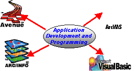
Internet Map Server (IMS) Implementation
ArcIMS™ software is the foundation for distributing geographic information
system (GIS) data and applications on the Internet. By providing a common
platform for exchanging and sharing GIS resources, ArcIMS provides unique
opportunities to leverage data from within the organization and to integrate
information from other agencies.

ArcIMS is a powerful technology that adds geographic data and analysis
to such diverse applications as e-commerce, enterprise resource planning,
data warehousing, customer care and support, location-based services and
field data integration. It can be used by
- Developers interested in building Web-based location services and geographical applications
- Organizations needing to build geographic applications for their Intranets
- E-commerce Web managers wanting to serve geographic data and services
IDAS technical staff can help you in installing, optimizing and customizing your ArcIMS application.
Integrated GeoSpatial Technology Solutions

3134 Coral Way, Suite B, Miami, FL 33145
Tel: (305) 665-8303 Fax: (786) 552-6359 - E-mail:info@idasnet.com